Water temperature measured in °C
RED: Maximum in the last 24 hours
BLACK: Current value
ORANGE: Snapshot taken 6 hours ago (-6H)
BLUE: Minimum in the last 24 hours
Sea level
Sea level measured in cm
RED: Maximum in the last 24 hours
BLACK: Current value
BLUE: Minimum in the last 24 hours
Time (UTC)
Sea Level (cm)
Sea Temperature (°C)
No data available
Description of the meteomarine station of Mazara
del Vallo (Sicily)
The monitoring system for this area of the Central
Mediterranean overlooking the Strait of Sicily was
set up by the Institute of Anthropic Impacts and
Sustainability in the marine environment (IAS) of
the National Research Council (CNR) within the
Interreg Italia-Malta project CALYPSO South -
Extending Data and Services for Safer Navigation &
Marine Protection. This system allows a continuous
real-time acquisition of sea level and sea temperature
inside the Mazara del Vallo harbour (TP, western
Sicily), together with the acquisition of weather
parameters in the same site. In addition to the
traditional weather parameters, the system with the
other station of Torretta Granitola, is able to
monitor the passages of the atmospheric pressure
fronts. This kind of monitoring is important for
studies on climate change on which the rise in sea
level may be assessed, but also for the study of the
inter-relationships between the fronts of atmospheric
pressure and sea level. In fact, certain atmospheric
turbulences can often contribute to the formation of
local and/or synoptic-scale meteo-tsunami phenomena,
often dangerous for the population and known locally
with the name of "Marrobbio". The monitoring system
was created to provide useful information at local
level and to serve for the prediction and mitigation
of dangerous events on the population, as well as to
increase the port security of the area.
The weather and sea level stations installed in Mazara
del Vallo provide high-quality, standardised data and
it forms part of the CALYPSO South network of
meteo-marine stations in Malta and southern Sicily.
The station is co-ordinated by Dr. Salvatore Aronica,
Scientific Responsible for the CNR partner
(salvatore.aronica@cnr.it).
The staff project is composed by: Dr. Giacalone Giovanni,
Dr. Ignazio Fontana, Dr. Angelo Bonanno, Dr. Gualtiero
Basilone, Dr. Simona Genovese, Dr. Evelyn Scicchigno,
Sig. Pietro Calandrino and Dr. Alessio Langiu.
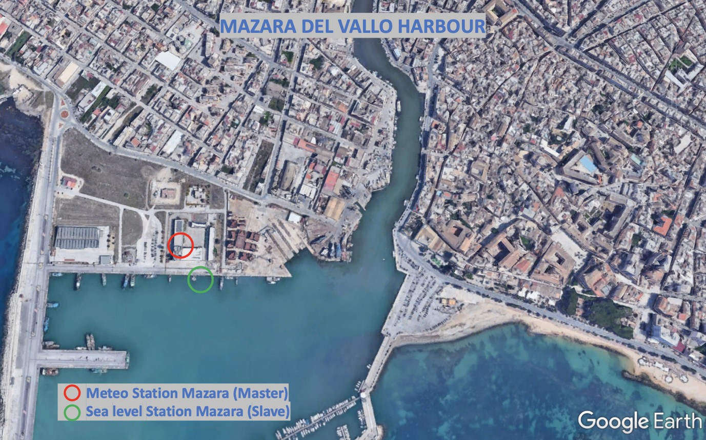
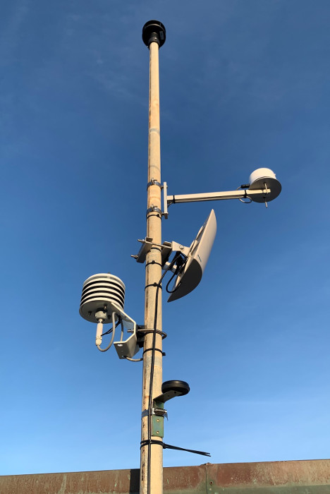
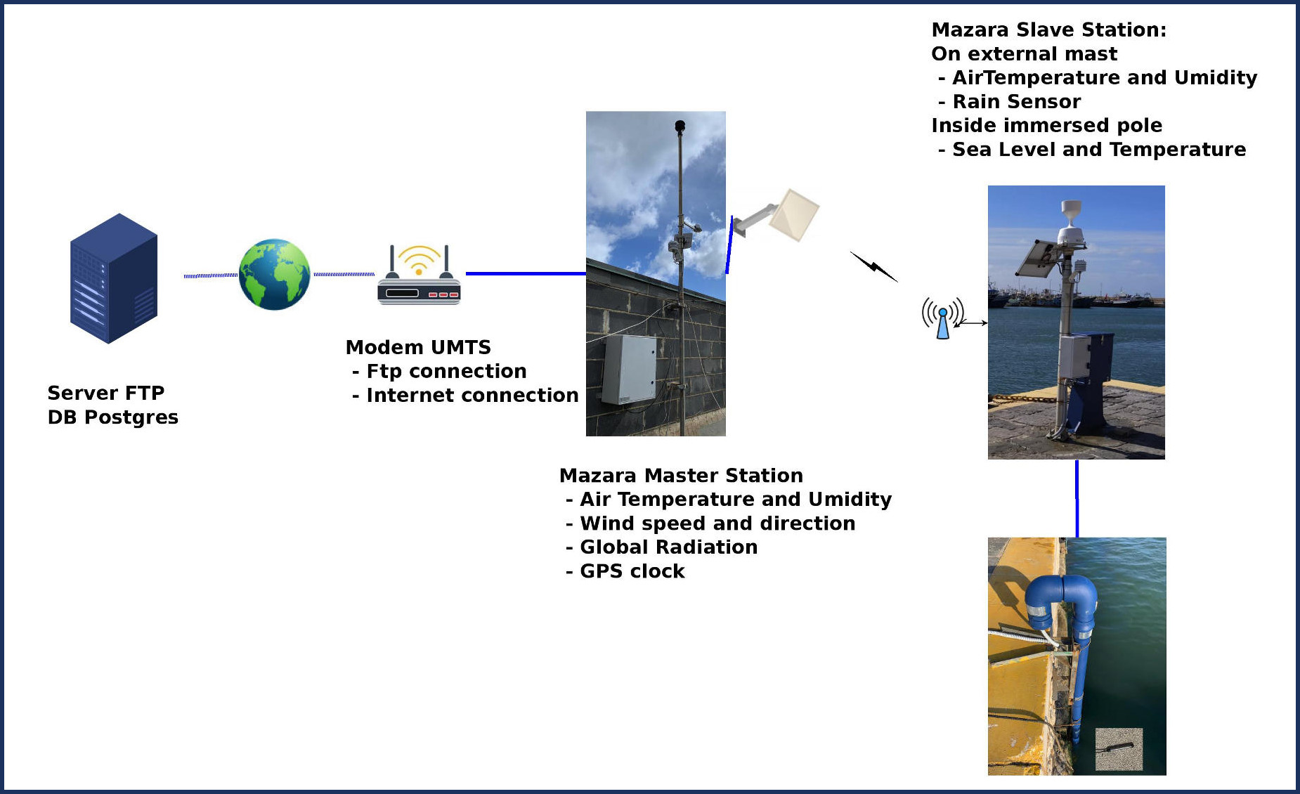
The meteo-marine station of Mazara del Vallo
is composed of two subsystems, a subsystem
called slave located on the wharf of the
Mazara del Vallo harbour for marine and
weather parameters at the lowest altitude,
and a subsystem called master located instead
on the roof of the harbour master's office
at about 19 m above sea level for the
acquisition of weather parameters.
Meteo station master Mazara del Vallo
Meteo marine station slave of Mazara del Vallo
The sensors installed in the master station are:
Air pressure Barometer (Model: PTB220 VAISALA)
Air temperature and relative humidity (HC2A-S3 ROTRONIC)
Wind speed and direction windsonic anemometer (1405-PK-021 GILL)
Global radiation Pyranometer (Model: MS-802 EKO)
The sensors in the slave station are:
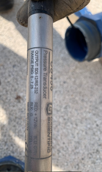
Sea level and temperature (Model: CS456- 7.25psig CAMPBELL
Air temperature and relative humidity (HC2A-S3 ROTRONIC)
Rain gauge (Model: ARG314 MEL)
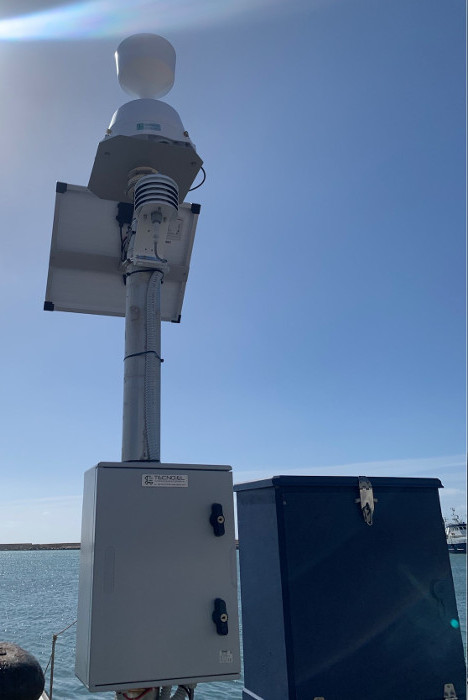
Mast for sea level and sea temperature of station slave of Mazara del Vallo
Sea level and sea temperature sensor
Operating scheme for the meteo marine station in Mazara.
The Slave station communicates with the Master station
through a 2.4 GHz wifi connection. The Master station,
in addition to acquiring the data of the installed
sensors, receives the data of the slave subsystem,
synchronising them and creating the records of values.
The master subsystem sends data to multiple remote
FTP servers every minute. The data are synchronised,
using the GMT time, through the GPS present in the
Master station.
The underwater sensor is a pressure transducer for
water-level measurements in harbours. It is housed
in a titanium protective frame whose diameter is
2.1 cm and 23 cm long, that allows it to be used
in saltwater and other harsh environments. It is
inserted into a hollow tube to protect it from any
impact with external materials. The CS456 outputs
either a digital SDI-12 or RS-232 signal to indicate
observed pressure and temperature. The sensor has
a water-level resolution of 0.0035% FS and worst-case
resolution in temperature of 0.006 °C.